

Connecting Carmel's Spectacular Natural Beauty to Create an Extraordinary Walking and Hiking Destination
More Connections. More Joy.
We have a remarkable opportunity to enhance our community's quality of life by establishing a seamless trail network connecting Carmel-By-The-Sea to the State Park and Regional Parklands south of the Carmel River. The proposed project includes the creation of a community walking trail and a pedestrian bridge across the Carmel River that will link various disjointed trails and parks.
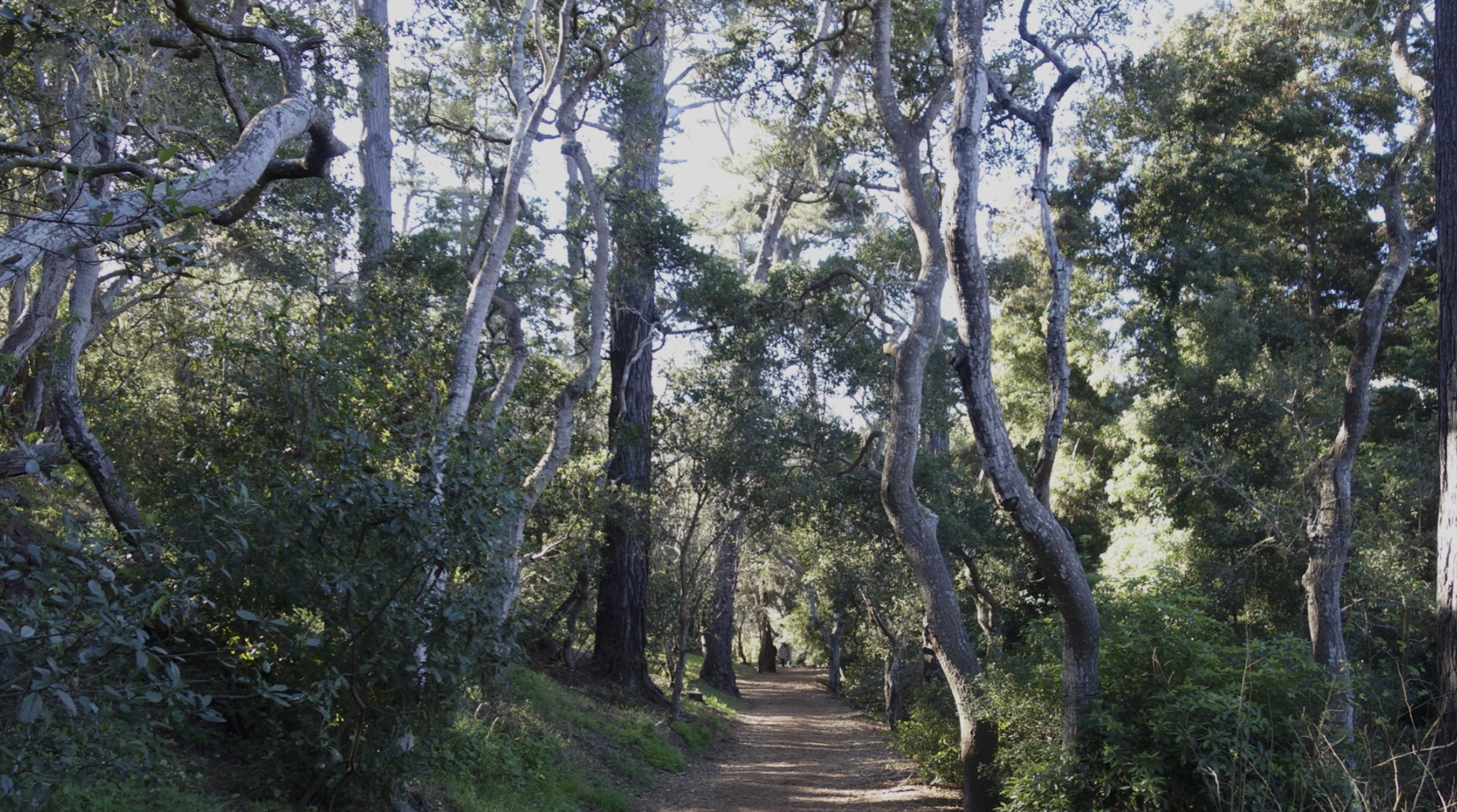
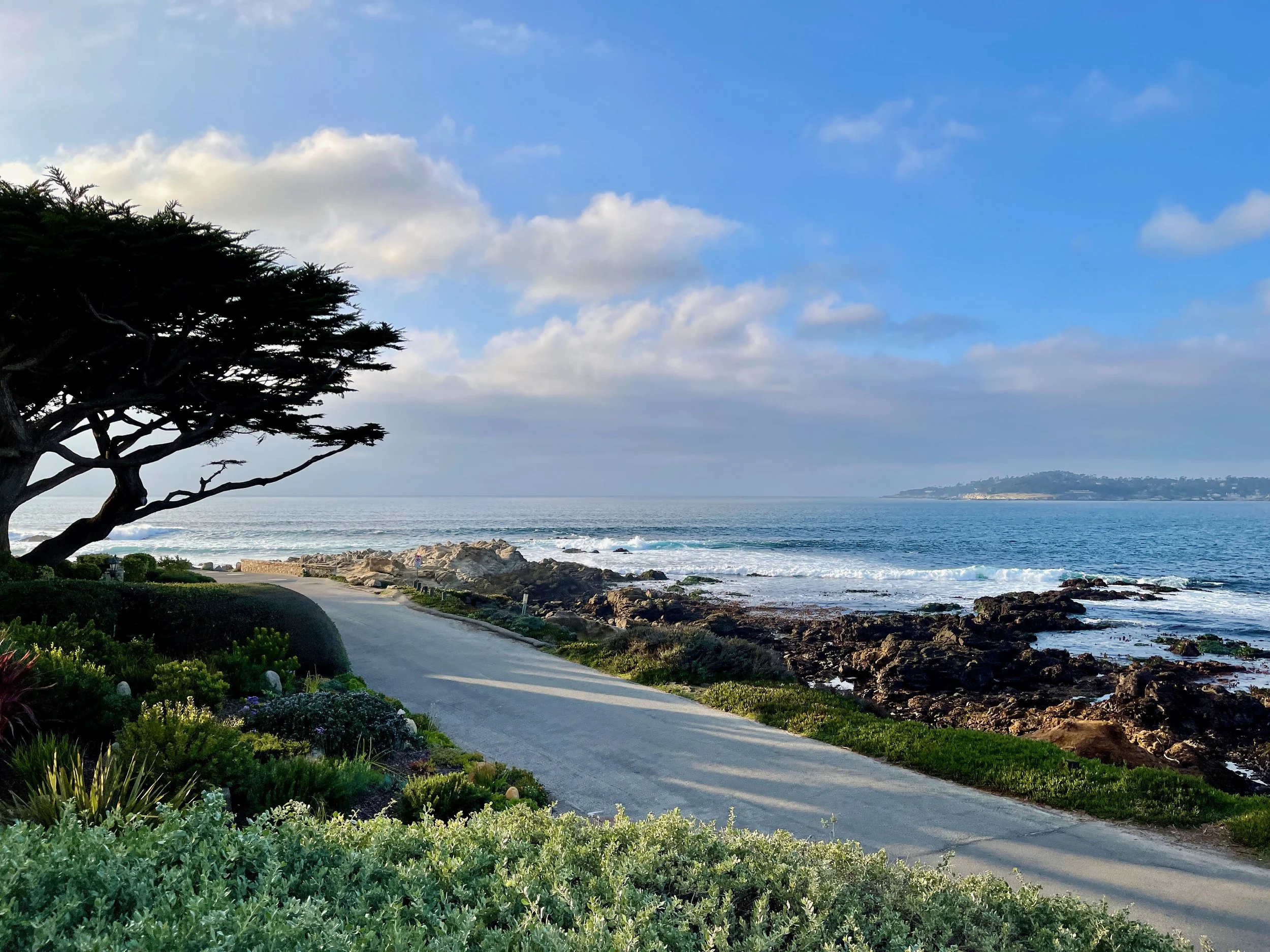
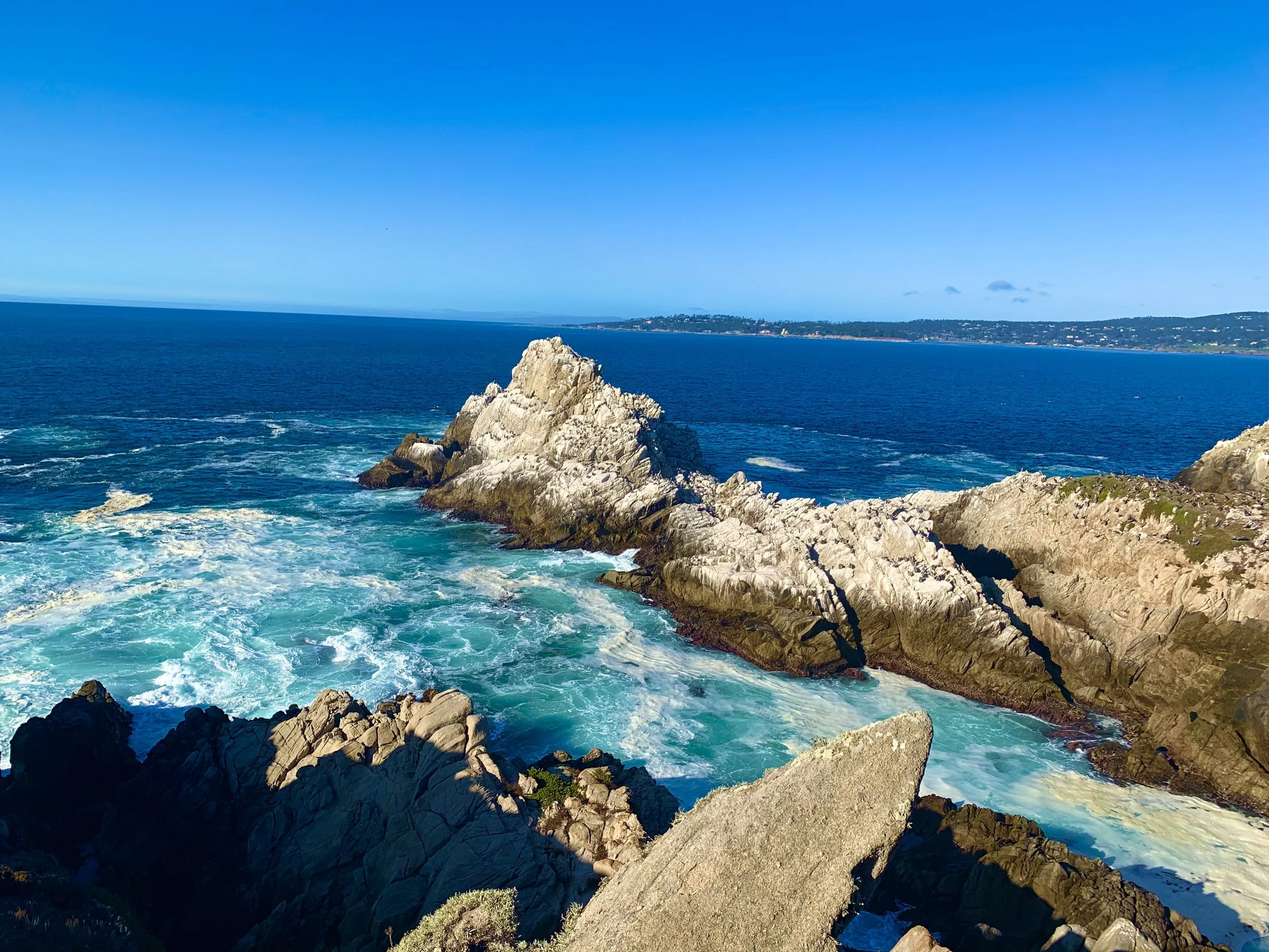
This new trail promises to significantly improve opportunities for walking, hiking, and experiencing the breathtaking natural beauty of the Carmel Area. Each unique connection along this trail adds to its allure, earning it the name, 'Bridge to Everywhere.'
Importantly, this initiative doesn't require any additional land purchase, as all the connectivity points are within public ownership. Furthermore, the existing parking facilities at these geographic connection points allow users to choose their preferred access to the new trail system. It will also enhance safety for the children and parents who walk to the River School and any pedestrian attempting to cross Rio Road near the Mission.


“There is no bigger driver of economic growth than adding walking and hiking trails to a community—enhancing tourism (local and regional), driving small business opportunities, and attracting affluent, health-minded visitors. Connecting Carmel’s most beautiful natural spaces has been a long-term dream for our community. It allows us to welcome more walkers, hikers, dog lovers, and everyone who loves nature.”
—Sam Farr, Former U.S. Congressman
Bridge To Everywhere Trail Connections
Help Us Realize This Dream
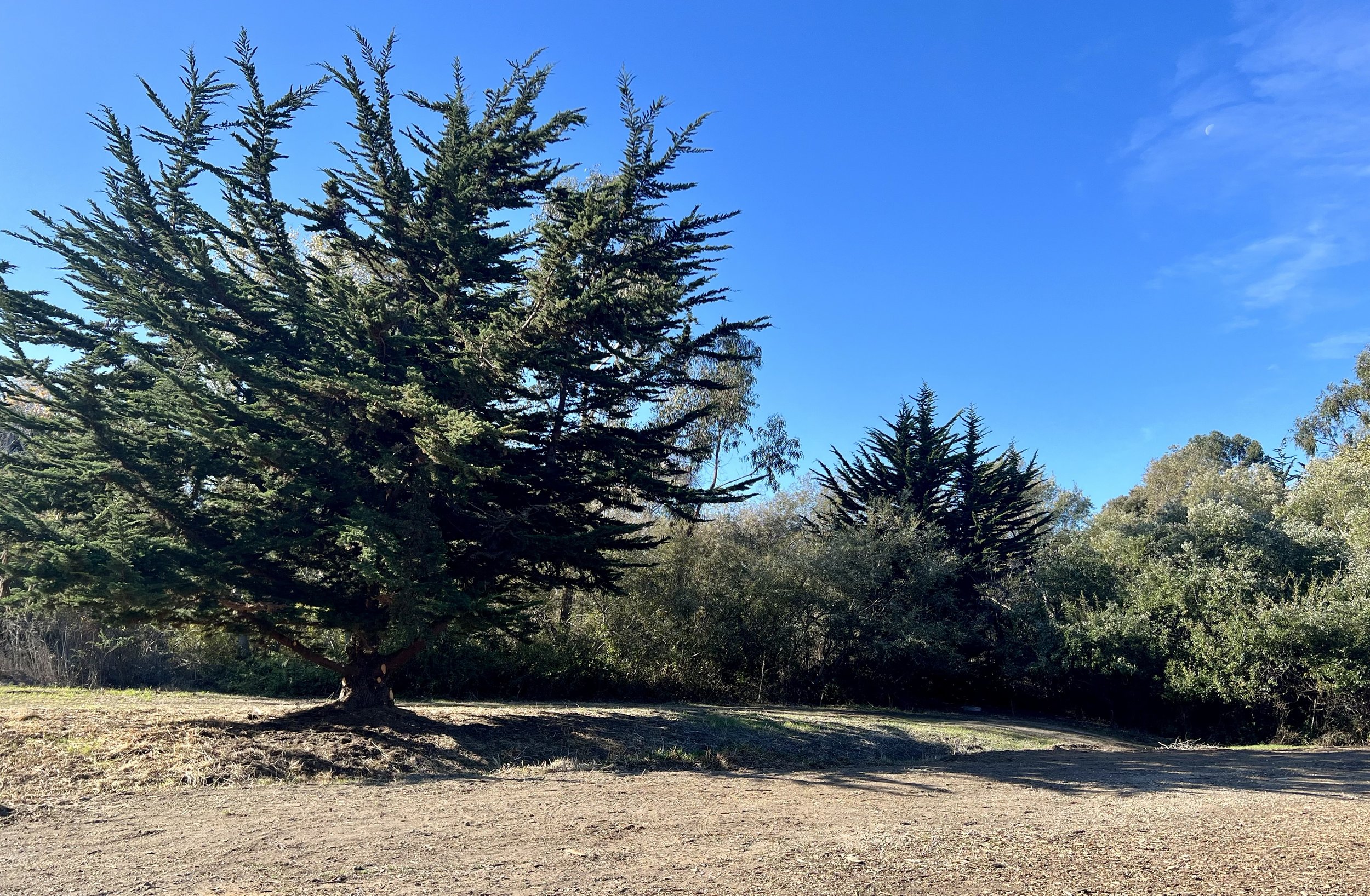
The early history of California was written here. The mouth of the Carmel River supplied early peoples with an abundance of salmon, steelhead, and rainbow trout. The loss of steelhead abundance caused the federal government to list the andronamus fish as a threatened and endangered species. These areas surrounding the mouth of the River, which provided the water that built the Monterey Peninsula, are now protected as a State Park.
This trail restores the the historic path, before highways, between Carmel and the proposed adjoining community called Carmelita, now Point Lobos Reserve State Park. All surrounding lands on this trail are protected through public ownership.
For the first time, this bridge gives access to trails to all points of Carmel’s incredible view shed, from all points on this side of the Carmel River to all points on the other side of the River, all by foot.
This historic improvement to the quality of life in Carmel won’t be possible without financial support from our community. We are working to secure grant money but will still need a local match to qualify this beautiful trail project for grant funding.
Your support is vital to our success. We pulled together to save the Odello lands from a Los Angeles or San Diego-scale development; now, let’s connect these remarkable lands to make them world-class walking and hiking trails that we all can love and enjoy.


